
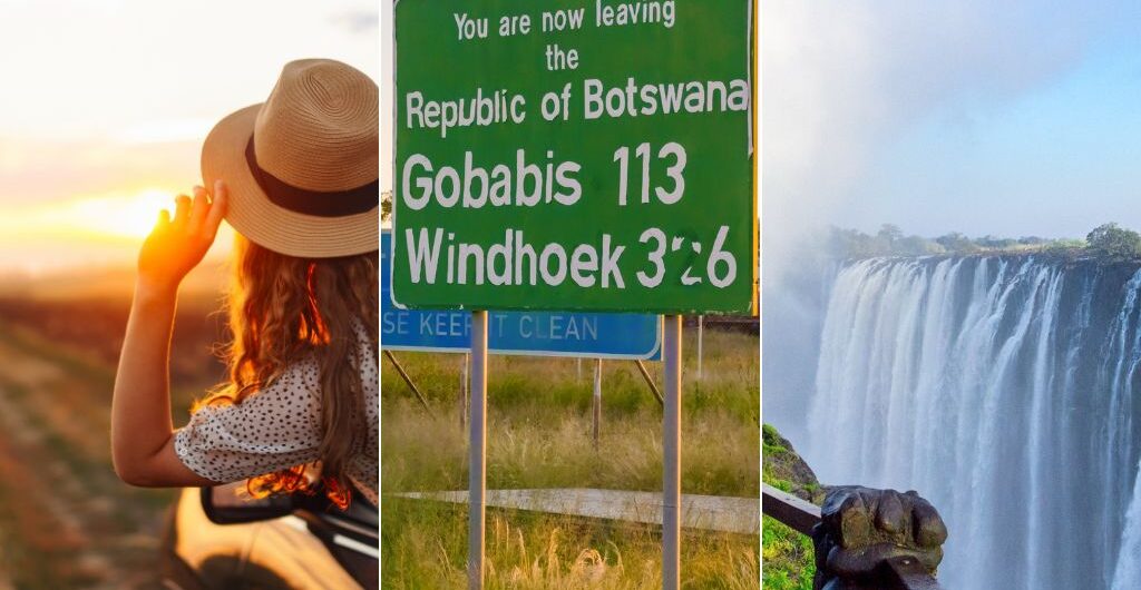
When in Namibia, and especially when you are right on the border of Botswana, visiting places like Mahangu National Park or a spot on the Okavango River, the temptation to jump across is real.
It’s also practical and more than achievable when you book a multi-country tour that takes you from Namibia, across the border into Botswana and ends in Zimbabwe.
These tours are the ultimate Southern Africa adventure, but they require a little bit of understanding so that your crossing is smooth, without a moment of your precious holiday time being wasted.
Why Multiple Country Tours in Southern Africa Are So Popular
There was a time when a single country could fill up a fortnight without difficulty. Access wasn’t so simple, getting around took a lot of time, and the attractions were so plentiful that you needed as much time as you could get.
Namibia’s dunes alone can take 4 days to fully appreciate, without seeing the same place twice.
Yet the itineraries booking fastest for 2026 are very different to those of years gone by.
They thread through Namibia’s evergreen Zambezi Region into Botswana’s Chobe floodplains, then onward to the edge of Zimbabwe’s Victoria Falls, three exceptional destinations joined by little more than a signature and a stamp.
And the logic of combining 3 destinations is a very practical decision, especially if you have the time and want a well-rounded tour.
Southern Africa’s safari industry has grown steadily over the past decade, and travellers with limited time are increasingly choosing efficient routes that link several highlights into one continuous journey rather than several short, disconnected trips.
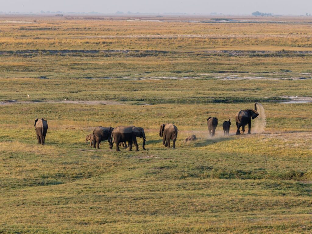
By doing this, a fortnight trip can now include sightings of elephants crossing the Chobe River at dusk and, two days later, standing close enough to the Victoria Falls, feeling the spray settle on your skin.
Land Borders vs Airports
Now, you might be thinking, why choose the open road rather than climb aboard a flight and get there 3 times faster?
It is a fair question, but doing so would really be missing out on half the fun.
No one can argue that a land transfer can take half a day or more, but that is the point because flying skims over Southern Africa, while the road lets you see so much more.
Crossing from Namibia into Botswana means you get to see the Mopane woodland slowly turn into riverine forest, dry Kalahari sand gives way to floodplain, and you get to see some of the birds and wildlife that make these in-between places home.
Many guided transfers also include stops along the way, at viewpoints, curio stalls, big attractions, or small border-town markets, so the drive becomes part of the itinerary rather than time spent waiting to arrive.
More than that, some border crossings in Namibia come with a bit of a geography lesson.
Cross near Kazungula, and you’re at one of the more curious points on the map. Botswana, Namibia, Zambia and Zimbabwe all meet here, at the confluence of the Zambezi and Chobe rivers, though surveyors still argue over the finer details.
Botswana and Zambia share barely 150 metres of border where the two rivers meet, joined to two separate tripoints rather than one clean crossing point, which is why some call this the world’s only international quadripoint while others insist it isn’t quite that.
The Chobe River itself forms the border between Namibia’s Zambezi Region and Botswana for much of its length, and it’s this permanent water, in an area with very little else, that draws the elephant herds Chobe National Park is known for.
Further west, the road tells the story of the Okavango too.
Only a small amount of the water that keeps the river alive falls as local rain. The rest falls in Angola’s highlands, travels south as the Cubango River, crosses the Caprivi Strip (Zambezi Region), and only reaches the delta months later, in the dry season rather than the wet one.
That delay in water is also what makes the delta so unusual: it floods when the surrounding Kalahari is at its driest, pulling wildlife in from the parched land around it.
And none of this is visible at thirty thousand feet.
The Land Borders of Namibia
Namibia’s most useful crossing for this route is Ngoma Bridge, and it crosses the Chobe River in the Zambezi Region.
It is the crossing most travellers heading towards Kasane and Chobe National Park will use, and it sits in an area characterised by reed beds, small fishing villages, and the occasional elephant making its own crossing nearby. It is one of the more beautiful borders in Africa.
Further west, near the settlement of Divundu, lies Mohembo, the border that is most used by tours travelling into Botswana’s Okavango Panhandle.
Travellers heading towards Maun and the Delta rather than Chobe will more likely use this post, and it carries far less traffic than Ngoma, making the crossing fast and efficient.
Namibia and Botswana also share a crossing much further south at Mamuno, on the Trans-Kalahari Highway, though this route is usually only used by those heading towards Gaborone, making it more of a commercial route.
The Land Borders of Botswana
Botswana, bordered by Namibia to the west and Zimbabwe to the northeast, with a stretch of the Zambezi so narrow that four countries very nearly touch at a single point on the river, is the country in the middle of most tours that cover multiple destinations in Southern Africa.
Coming from Namibia, Ngoma Bridge and Mohembo are the two posts travellers are likely to use.
Heading onward into Zimbabwe, most trips pass through Kazungula, a short drive from Kasane, where the road crosses close to where the Chobe meets the Zambezi.
A more peaceful alternative can be found much further south at Pandamatenga, though it is used more by those travelling directly between Francistown and Victoria Falls, and thus cuts out Botswana’s safari circuit almost entirely.
The Land Borders of Zimbabwe
For travellers on this particular route, Kazungula is the most used border crossing for visitors coming for the Falls as it sets them within a short drive of Victoria Falls town, often with the sound of the Falls reaching the car before the view does.
Zimbabwe’s other well-known crossings, the bridge to Zambia at Victoria Falls and Beitbridge on the South African border, belong to different routes entirely, though their locations help to give you an explanation as to why this small country has long served as something of a crossroads for the region’s overland travellers.

What Happens If There is a Delay at the Border?
One of the biggest upsets for any kind of holiday is a border delay, and unfortunately, they are impossible to predict. Some days, the flow of cars is just perfect, while on other days, for whatever reason, everyone ends up stuck and frustrated. And no one is happy sitting in the midday heat!
The good news is that, especially in the more remote regions, border delays are not the norm. Most of the border crossings from Namibia to Botswana, and Botswana to Zimbabwe, are off the beaten track and predominantly used by tour companies.
This means your transfer won’t be jostling with agricultural trucks carrying fruits and meats that have to go through strict foot and mouth disease procedures before being allowed across.
It also helps to travel with a guide and to book your tour with a reputable tour operator.
Paperwork prepared ahead of time, a driver who knows which window to approach first, and the reassurance of travelling with someone who has done this crossing more times than they could count is enough security to turn any unpredictable wait into something that is simply part of the day.
Tips For Better Border Crossings
A little preparation changes a border crossing from an unknown into nothing more than a boring formality. Keep these tips in mind when you sign up for a multi-country Southern Africa tour:
- Keep your passport, visa documentation and any permits in one folder that can be reached without opening your suitcase.
- Choose shoes that slip off easily, since foot and mouth control mats are common at borders throughout the region.
- If possible, carry a small amount of US dollars in low denominations, even on a fully guided tour, for the odd incidental cost.
- If you are self-driving, try to avoid arriving right on opening time where possible, since the first hour will usually have the longest queue.
- Know that photography is usually not permitted at most border posts, so save the camera for the landscape on either side.
- And finally, let your guide lead the process. Standing back and letting someone experienced handle the formalities is, more often than not, the fastest route through.
Plan Your Own Intrepid Multiple Country Southern Africa Tour
The two main crossings are Ngoma Bridge, over the Chobe River in Namibia’s Zambezi Region, and Mohembo, further west near Divundu, which leads into Botswana’s Okavango Panhandle. A third, quieter crossing exists much further south at Mamuno, on the Trans-Kalahari Highway.
It varies considerably, from as little as fifteen minutes at a quiet post to well over an hour when a coach group or a line of trucks arrives ahead of you. Crossings on a guided tour tend to move through more smoothly, since drivers know the process and often have paperwork prepared in advance.
Requirements depend on nationality and do change from time to time, so it is worth checking current details closer to departure. Travellers on a guided tour will usually find this side of things is arranged or advised on by their travel agency well ahead of time.
A passport with several months of validity remaining, any required visa documentation, comfortable closed shoes, and a small amount of local currency or US dollars for incidental costs.
Yes. These crossings handle regular tourist and commercial traffic, and formalities such as passport checks and foot and mouth disease screening are standard rather than unusual. Travelling with an experienced guide makes the process considerably more straightforward.
